SAS Planet is a completely free software with which, on a Windows computer, we can view detailed satellite maps obtained from various sources.
Program description
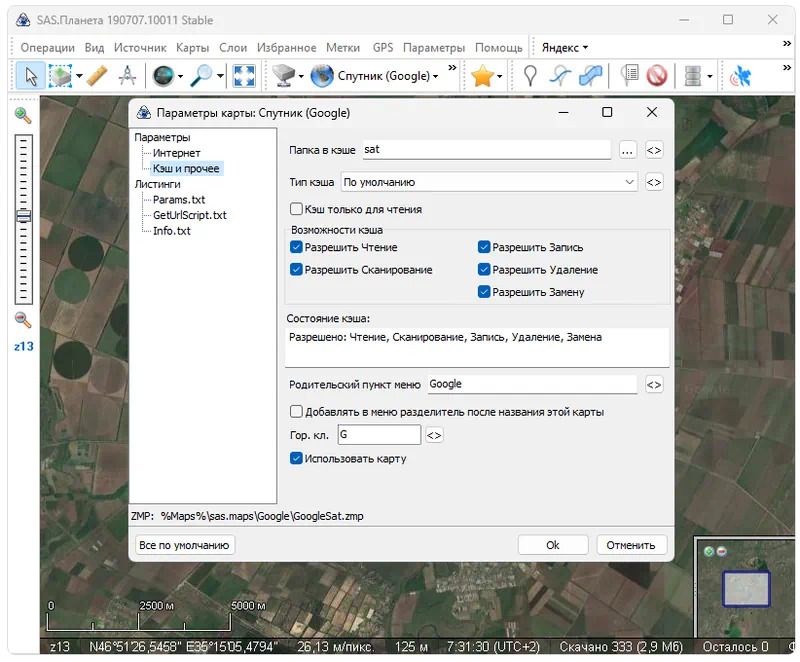
The program allows you to select the source from which satellite maps will be taken. This could be, for example, Google Maps, Yandex.Maps, and so on. There are a large number of additional tools that allow you to create annotations, navigate, or measure distances.
The application is distributed completely free of charge, so it can be downloaded from the official website of the developer or on the same page a little lower.
How to Install
We will definitely analyze the installation process so that the user does not have any difficulties at this stage:
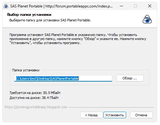
- First of all, go to the end of the page and, using the direct link, download the archive.
- We unpack and then launch the installation. At the first stage, it is enough to accept the license agreement and indicate the folder in which the program will be placed.
- Wait a few seconds for the installation to complete.
How to use
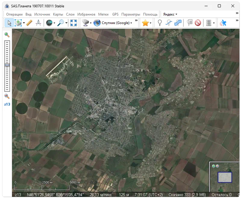
After the program is launched, we can immediately navigate. Using the wheel you can control the scale, and the left mouse button moves the map.
Advantages and disadvantages
Let's look at the strengths and weaknesses of the program for viewing satellite maps.
Pros:
- user interface in Russian;
- complete free;
- the ability to work with maps taken from different sources;
- maximum simplicity.
Cons:
- outdated appearance.
Download
Our website always offers the latest versions of certain programs for download. In this case, the 2024 release is available for download.
| Language: | Russian |
| Activation: | Free options |
| Developer: | SAS Group |
| Platform: | Windows XP, 7, 8, 10, 11 |